Wed. 8/16
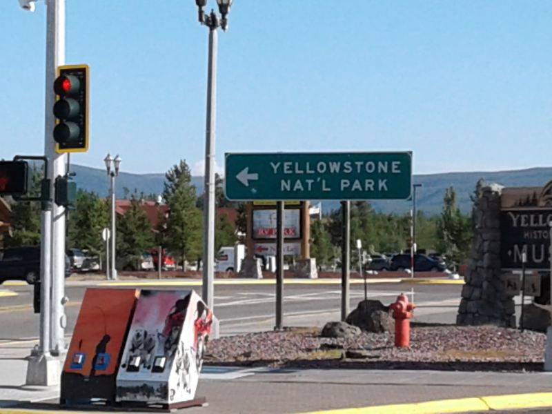
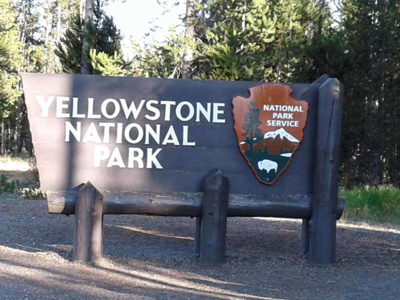
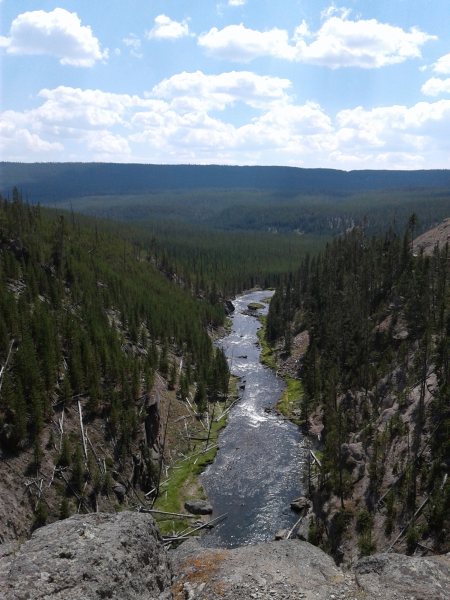
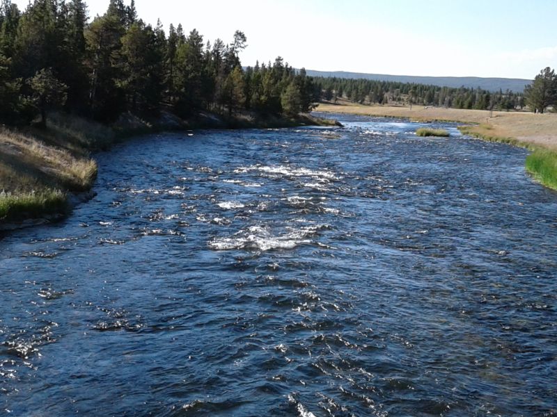
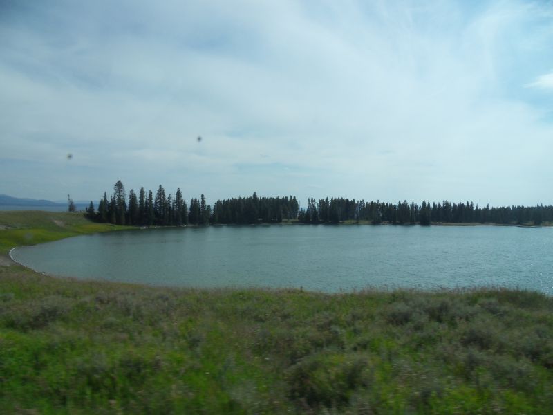
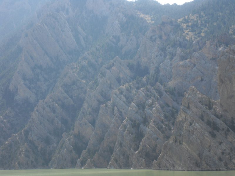
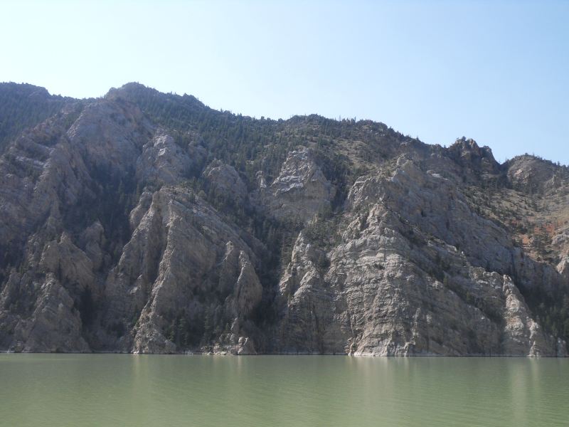
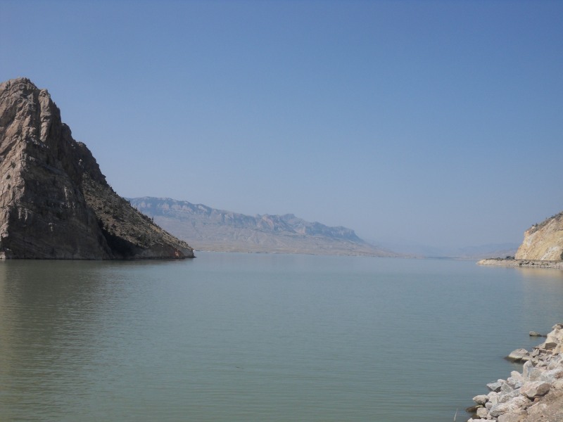
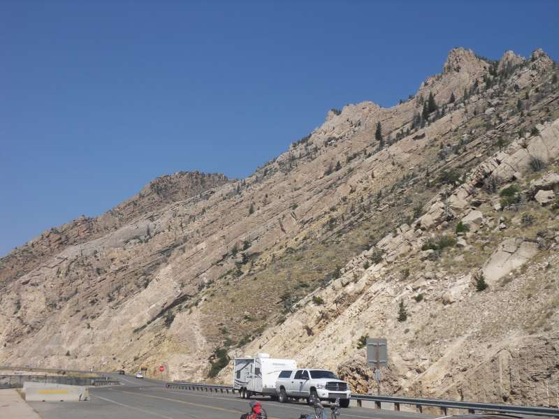
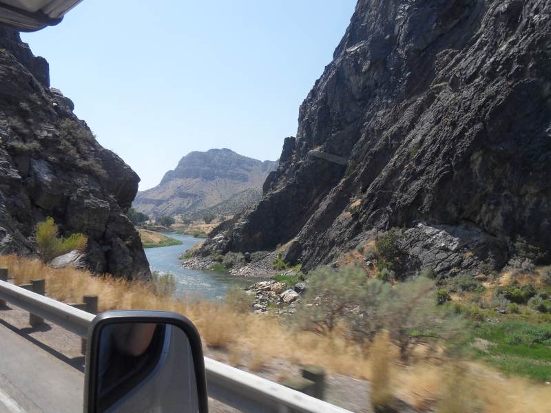
Drive to West Yellowstone, MT, about 3 hrs. Our campground (really, a small parking lot) is literally across the street from Yellowstone NP (which is in WY) but also right in town. The park has 300 mi. of public roads. It’s a huge square park, with attractions at the four corners and the middle. Lake Yellowstone (shown in the map below) is 14 miles wide, 20 miles long, up to 410 feet deep.

From the QT column in the Chicago Sun Times (approx. April 2006):
“There was a 36% increase in earthquakes last month at the Yellowstone Calder, the eruptions of which can be violent enough to send a layer of ash six ft deep as far away as Chicago and which erupts every 600,000 years or so and last erupted 640,000 years ago. This follows a 23% increase the previous month. But scientists say the chances of an eruption remain “remote’. QT Abridged Too Far Dictionary of the English Language: remote. Adj. Very unlikely, unless it happens one of these days soon.”
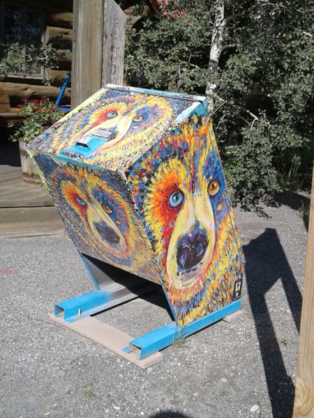
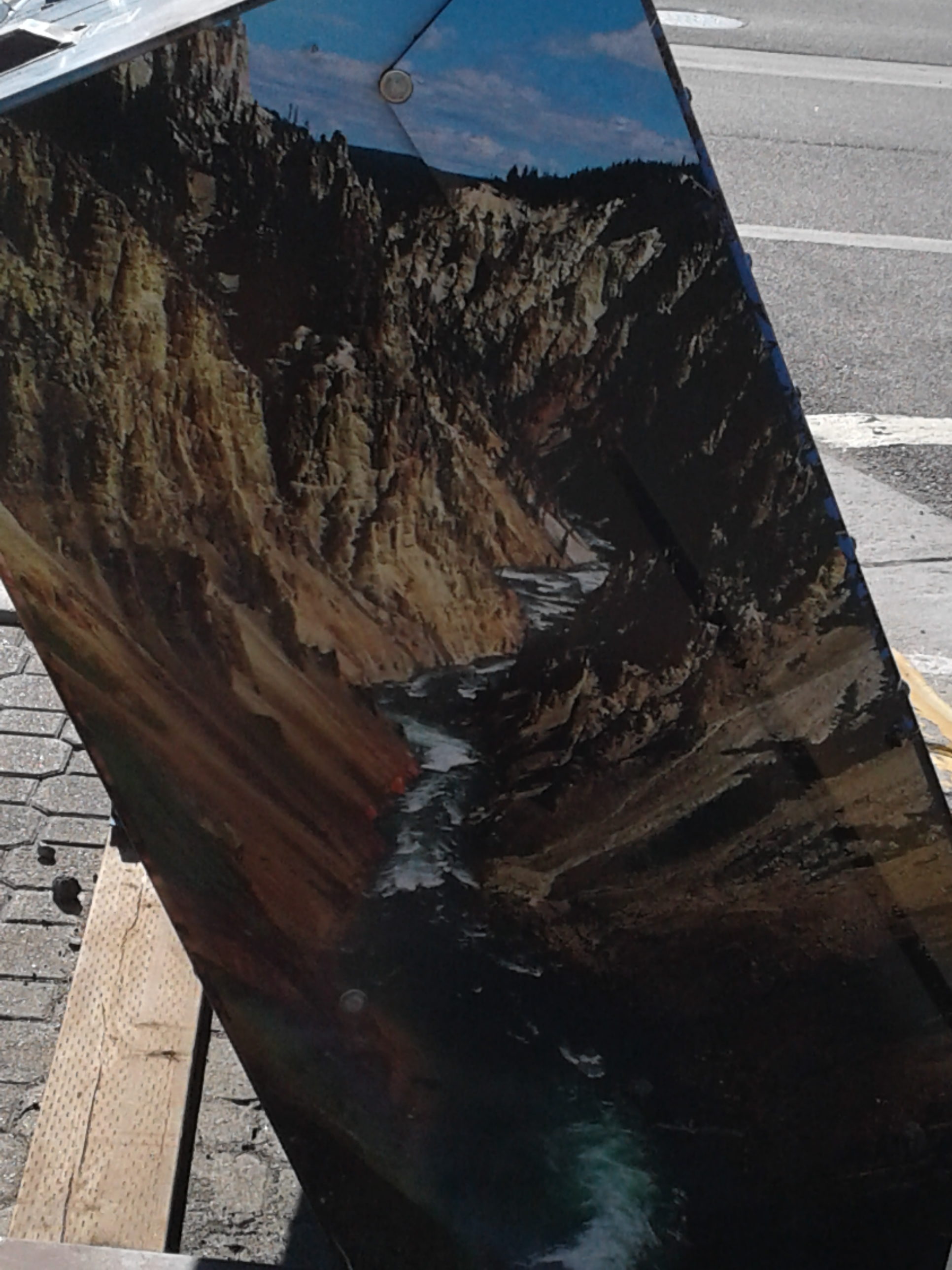
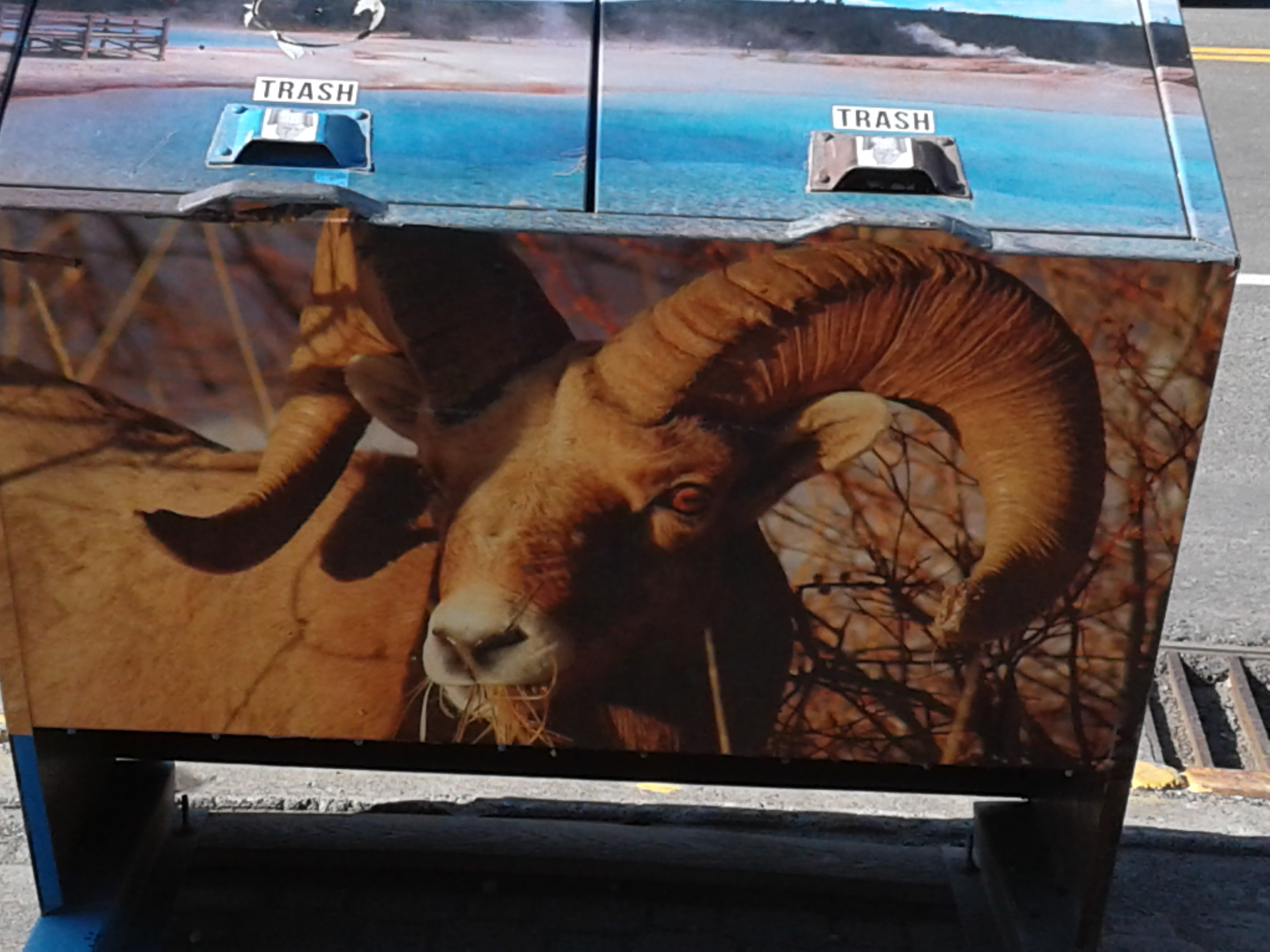
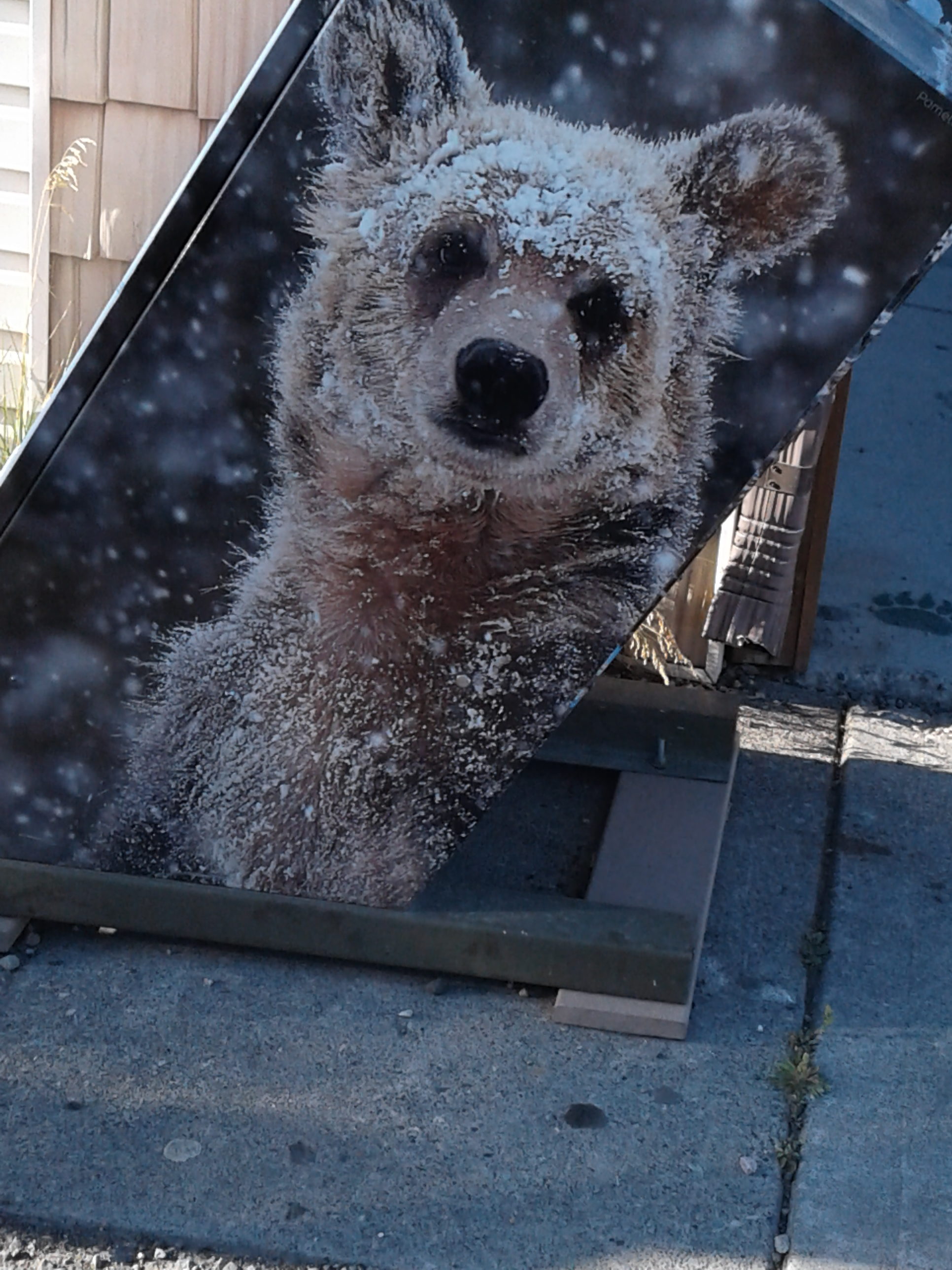
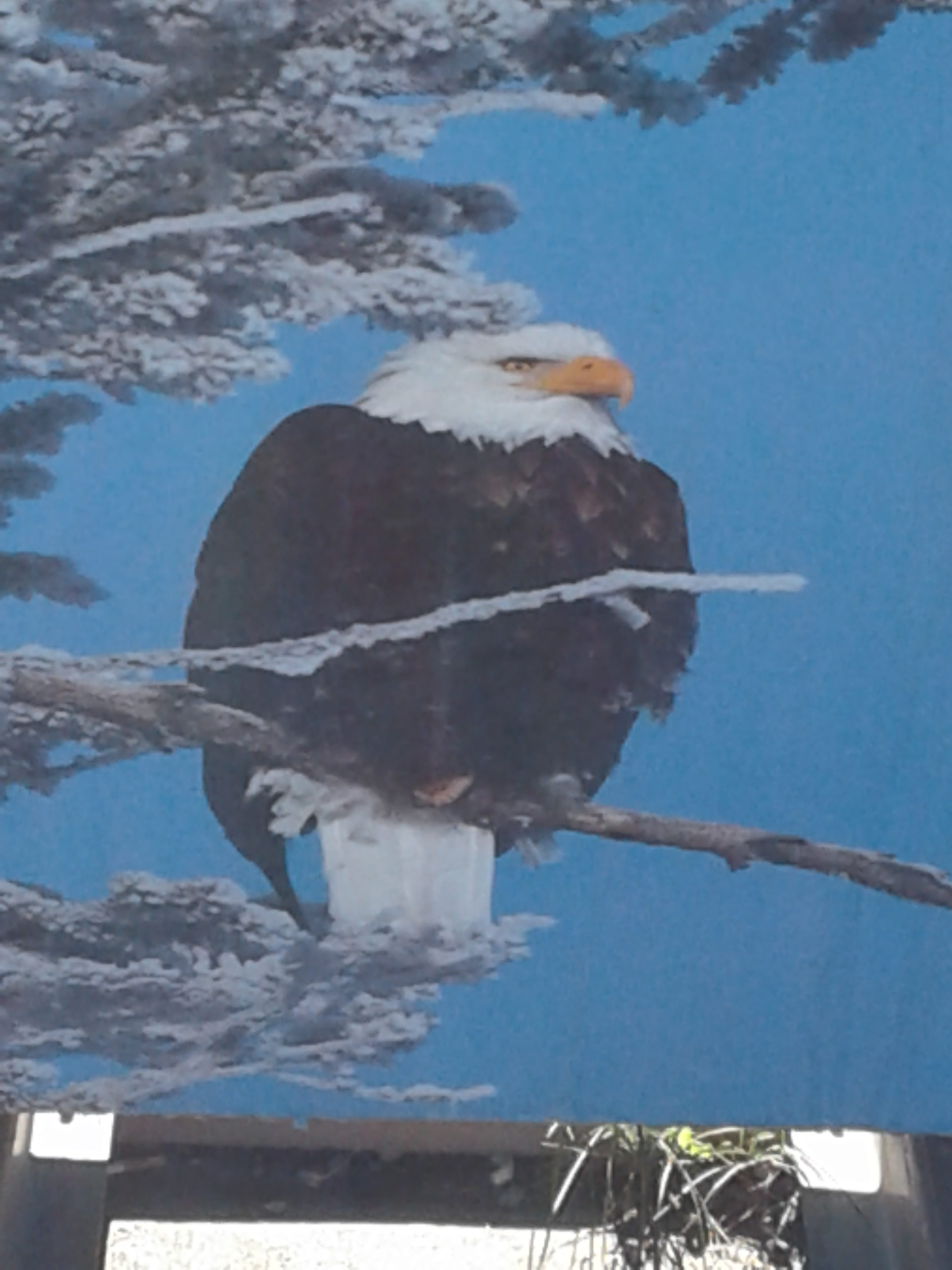
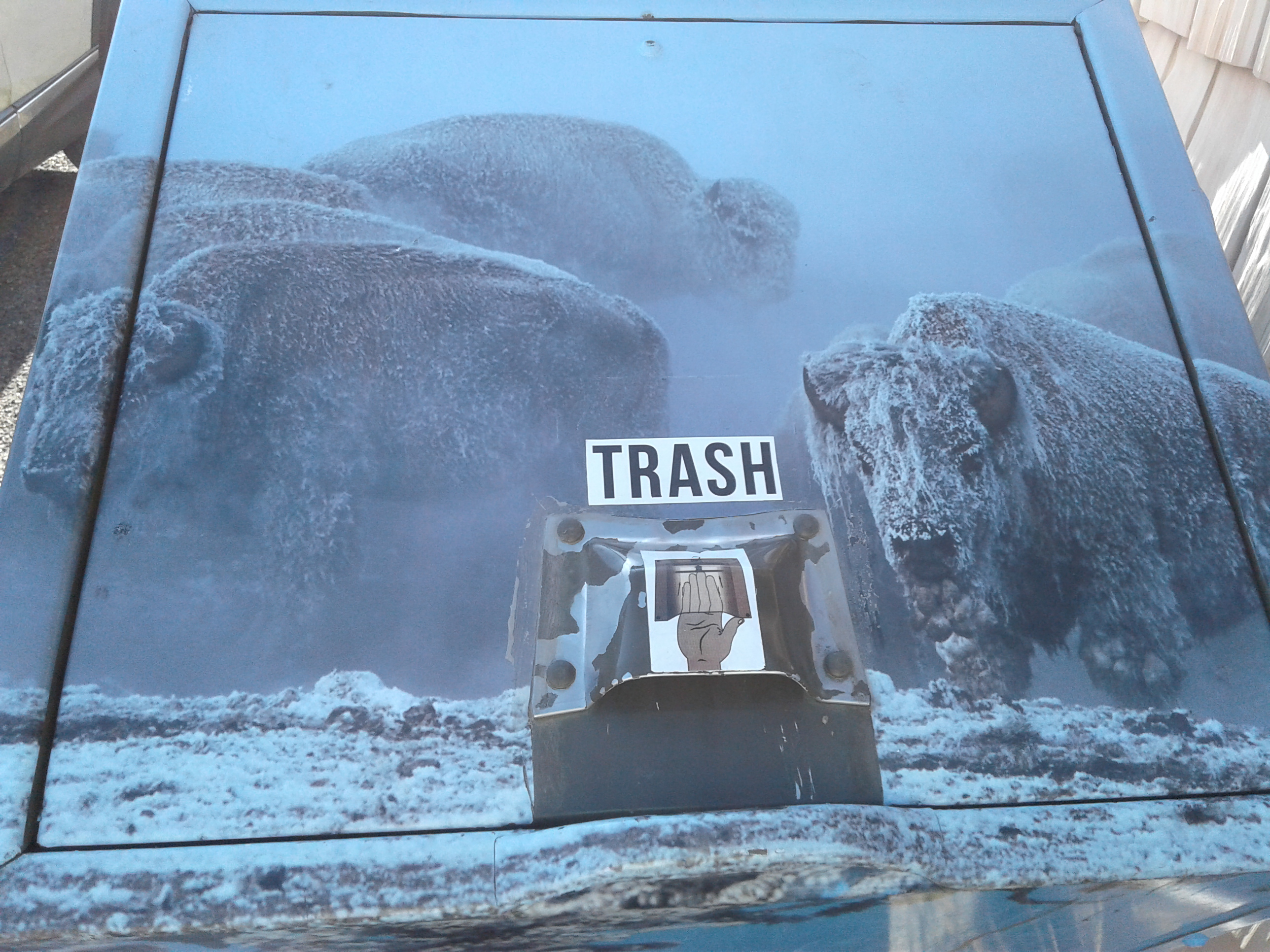
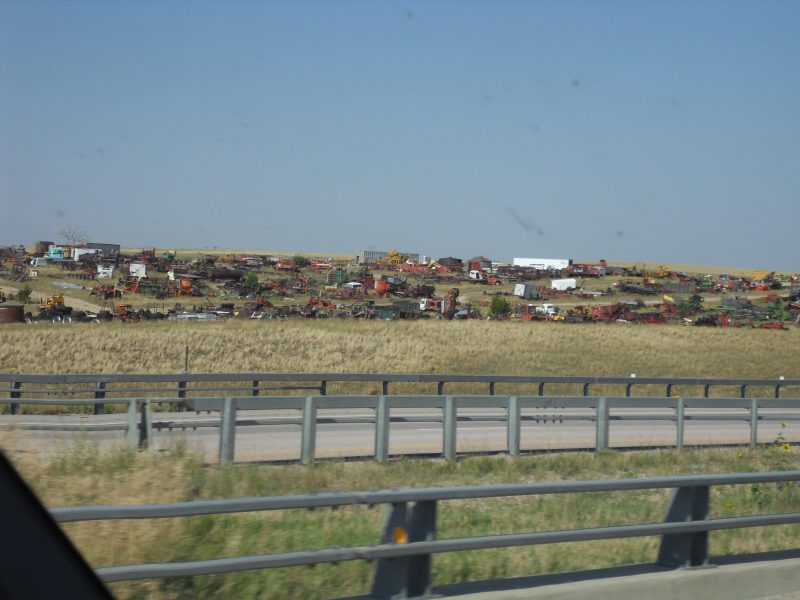
The town has lots of jewelry shops and shops with local art/craft work. Also very pretty trash cans.
Thur. 8/17
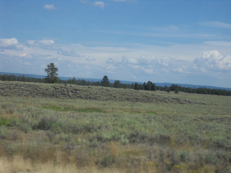
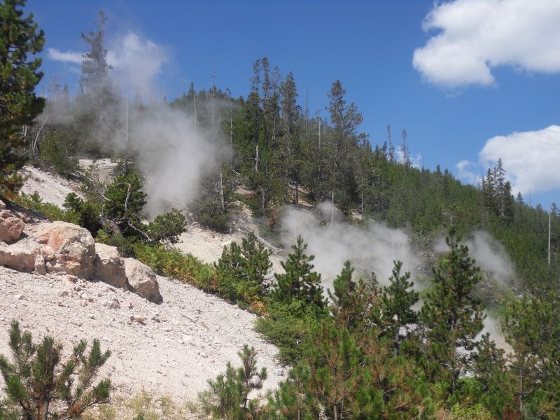
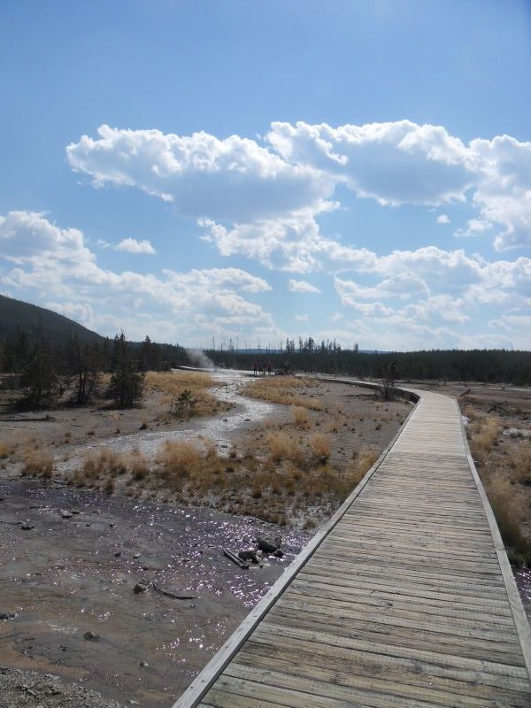
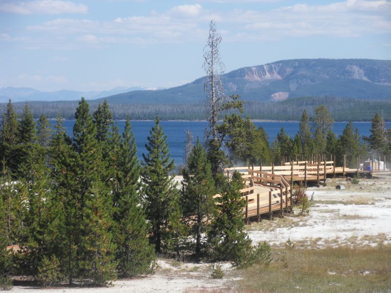
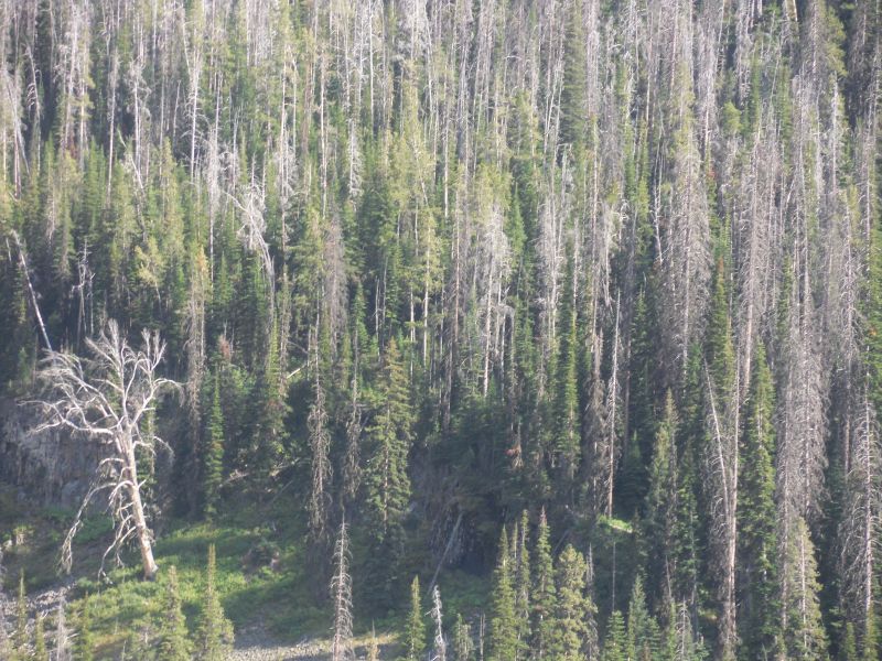
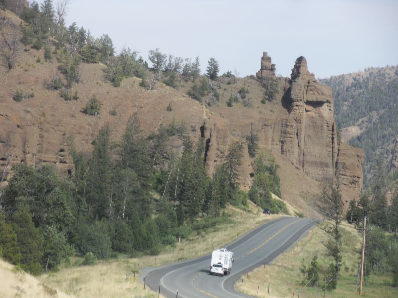
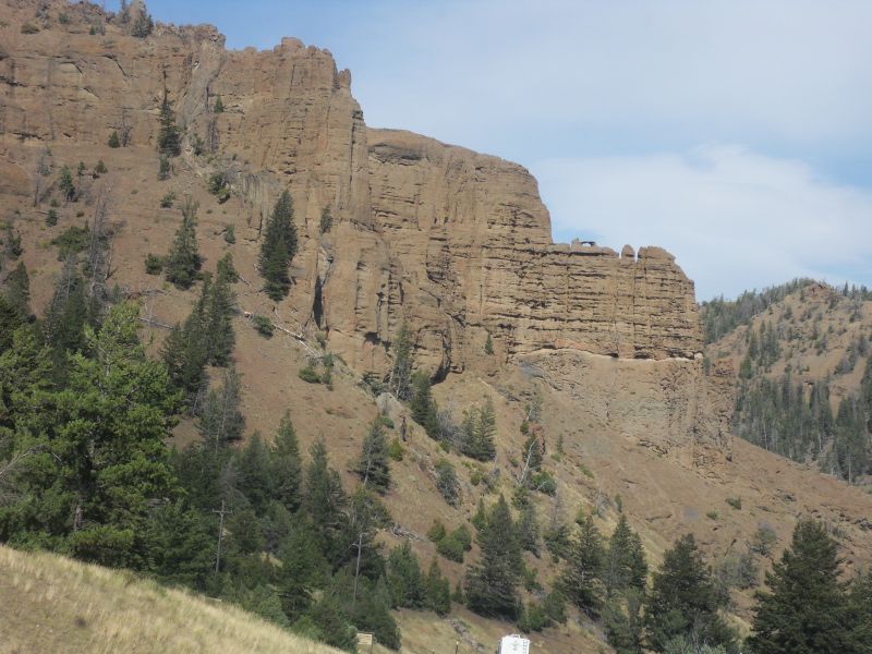
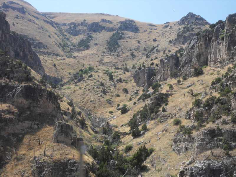
Did northwest quadrant of the park today.
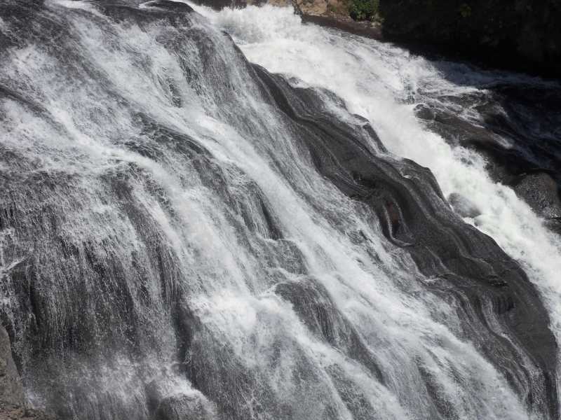
Gibbons Falls is an 84′ cascade. Beryl Spring boils up to 4 ft high! (but not today).


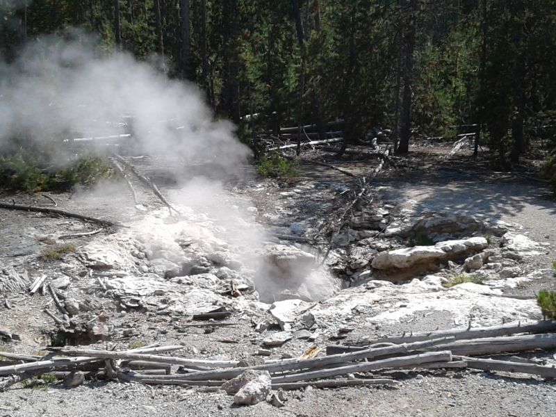
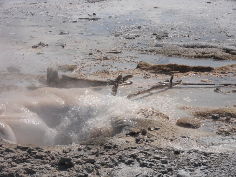
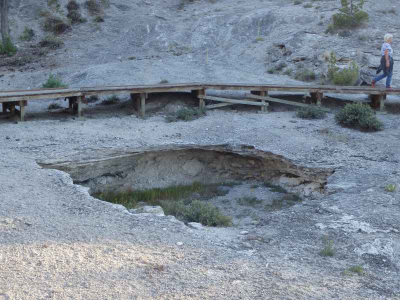
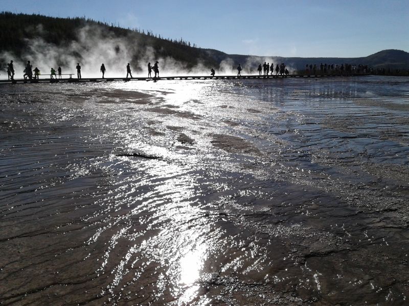
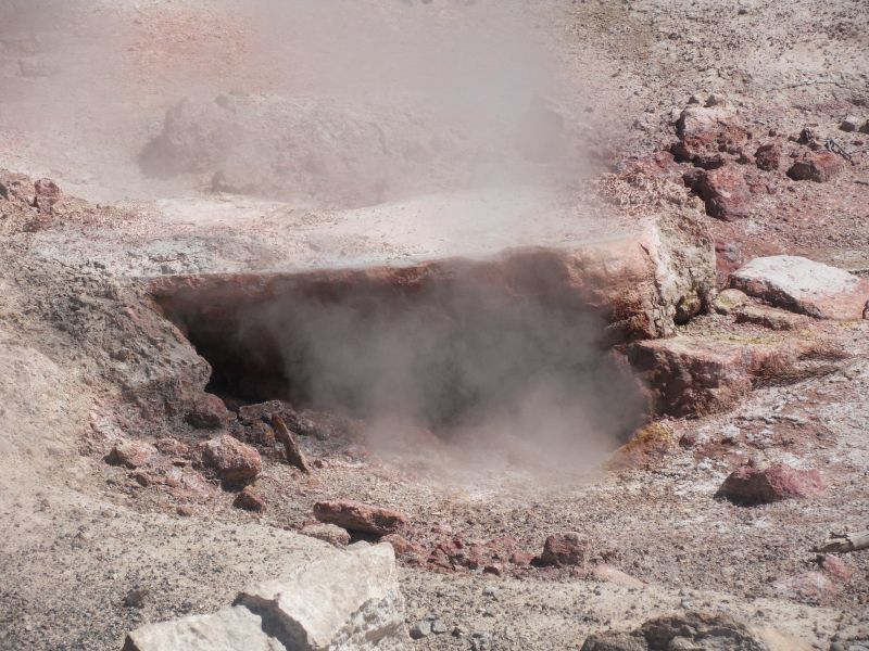
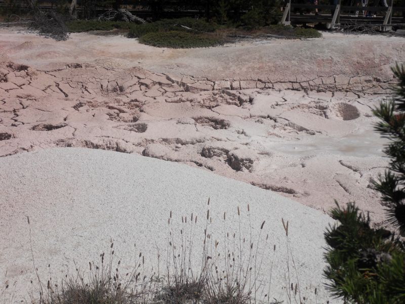
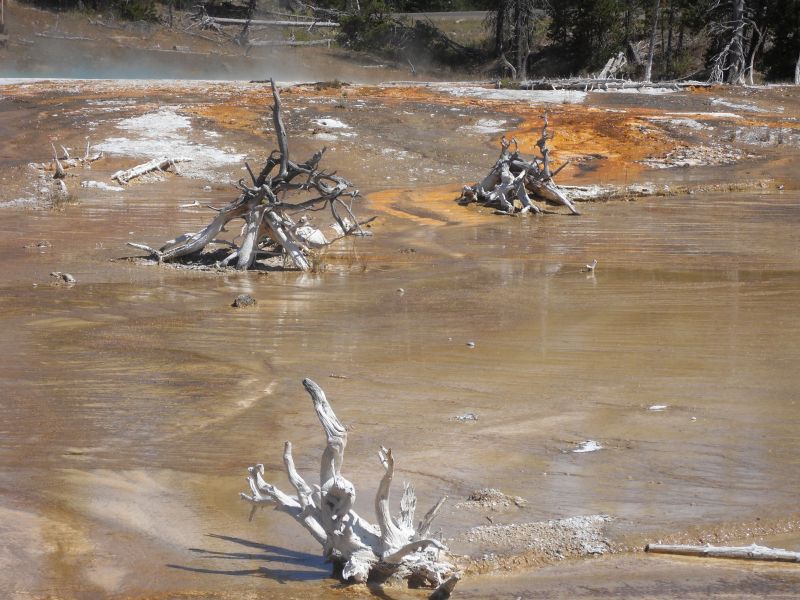
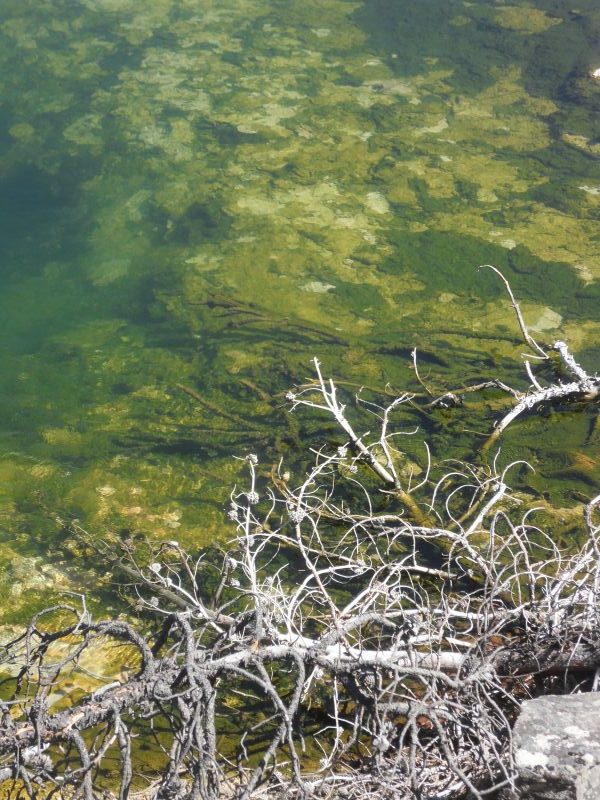
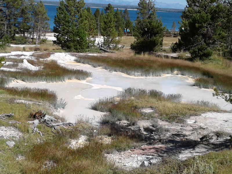
Norris Geyser Basin is the park’s most active thermal area and greatest water chemistry diversity; also one of the hottest and most acidic; has geysers, fumaroles (steam vents), hot springs. It is outside the 640,000-years-ago caldera but inside the 2.1 million year caldera. Part of one of the world’s most active volcanoes. Near the intersection of 3 major faults—1 from the north, 1 from the west, and a ring fracture from the Yellowstone Caldera eruption 640,000 years ago. In the Back Basin are:
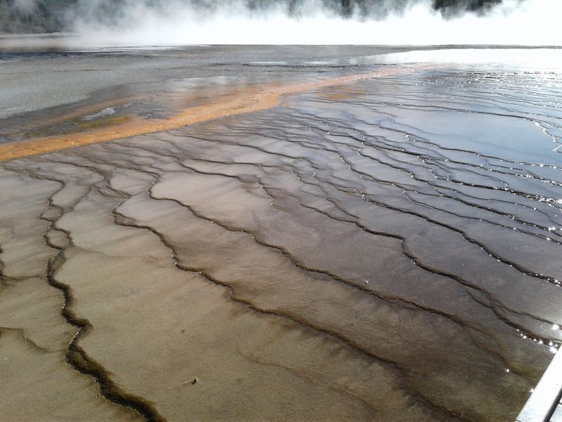
Emerald Spring—Sulfur deposits combine with blue of water to make the green color. Some microorganisms use sulfur as their energy source, while their byproducts are used by other organisms as their energy source.
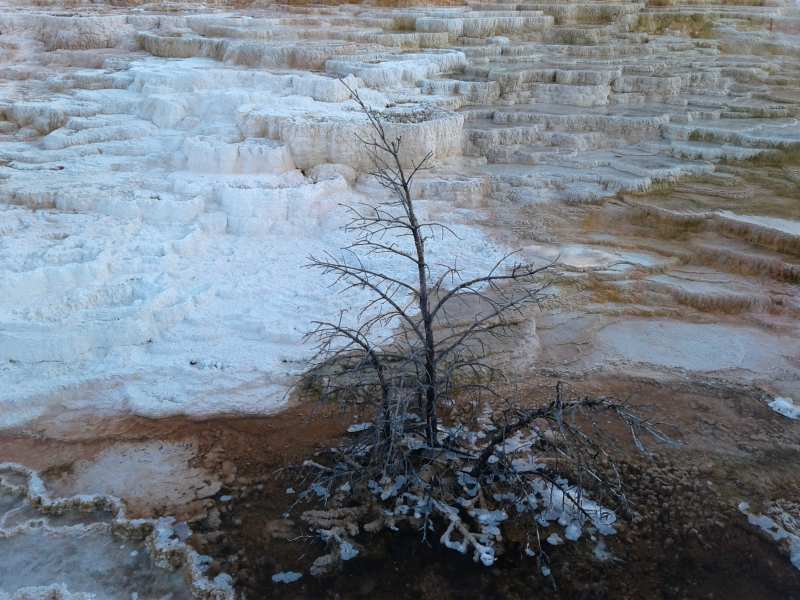
Cistern Spring (#3 in the photo array below) and Steamboat Geyser (the worlds tallest active geyser, more than 300 ft high) are linked. The former, normally blue or green, empties after each eruption of latter! Brown, orange and green colors are bacteria and algae that each need different temperatures. As the water flows from the source, it cools. Silica-rich water kills trees around the spring.
Minute Geyser erupts irregularly now. In stagecoach times it went off every minute, but waiting passengers tossed coins and rocks into the geyser, eventually plugging the main vent.


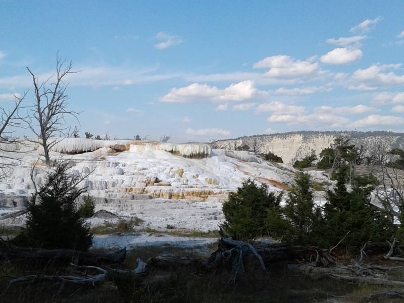
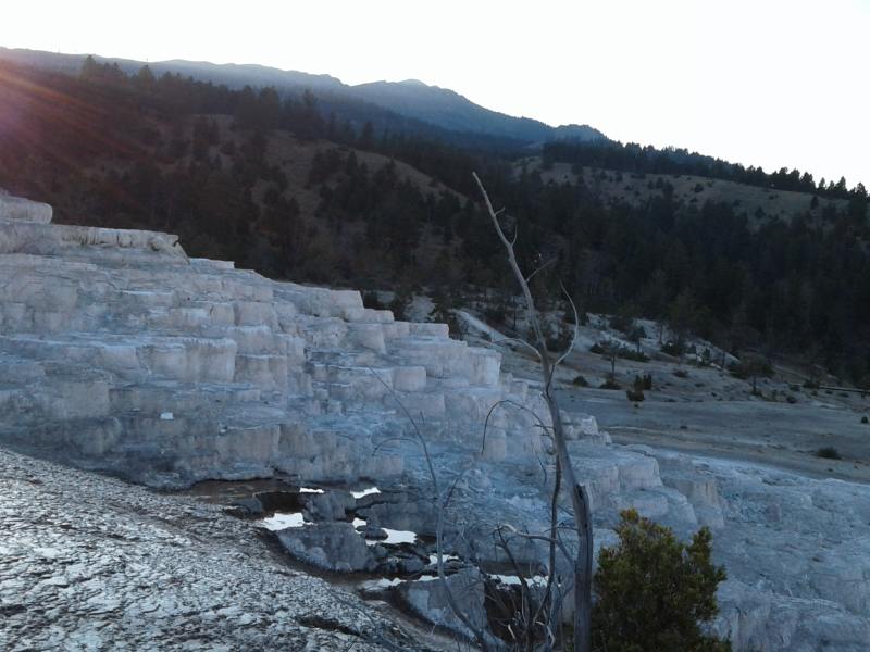
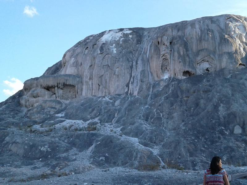
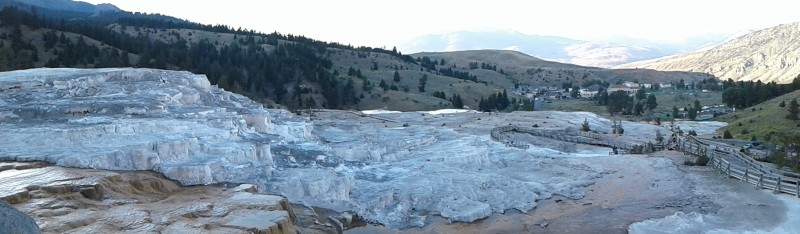
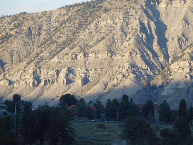
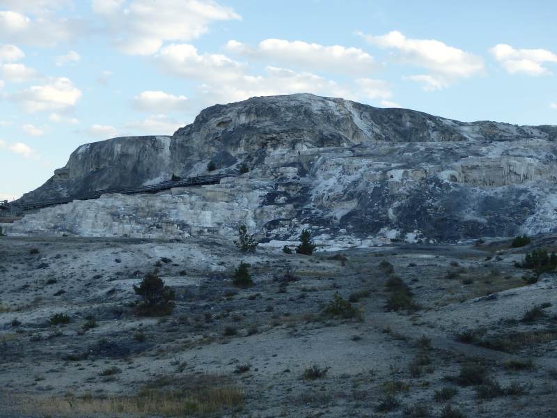
Mammoth Hot Springs—waters cascade over series of delicately colored pools. Limestone that dissolved in the water deep below the surface is rapidly deposited to form terraces and pools.


Passed a bison going the other way on the road!
Long day. About 50 miles 1-way, from West Entrance to Mammoth Hot Springs.
Fri. 8/18
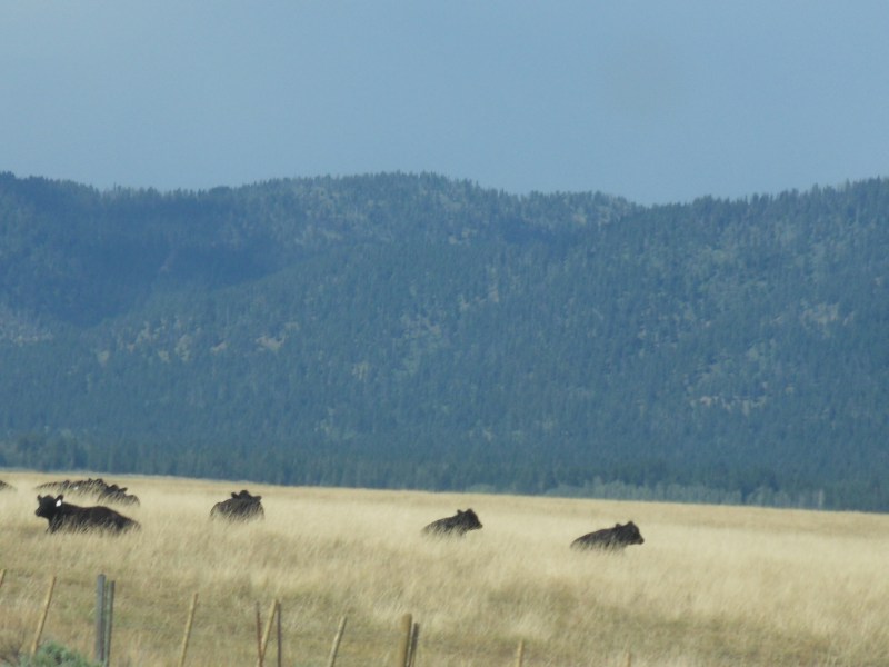
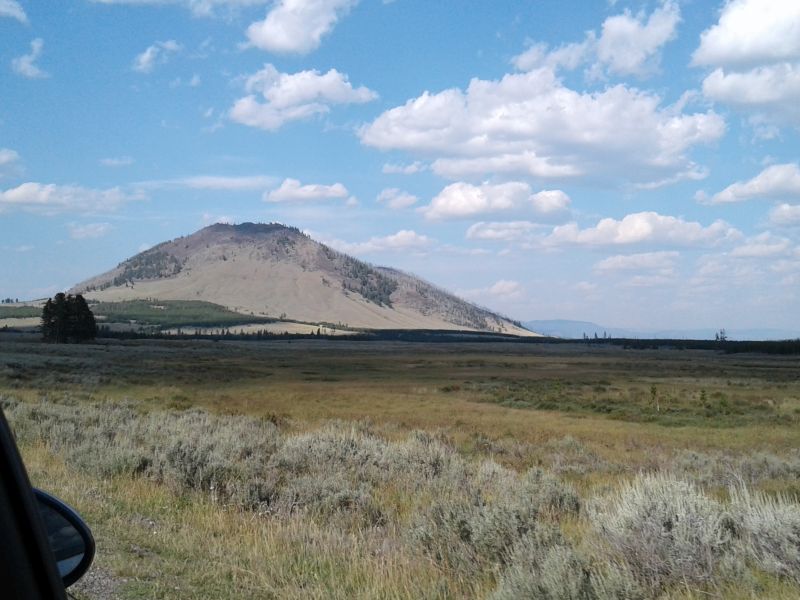
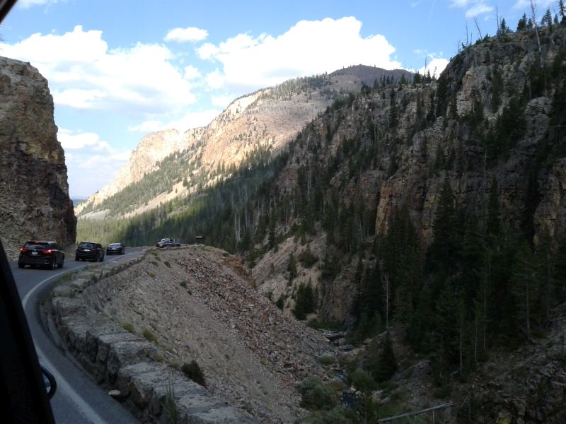
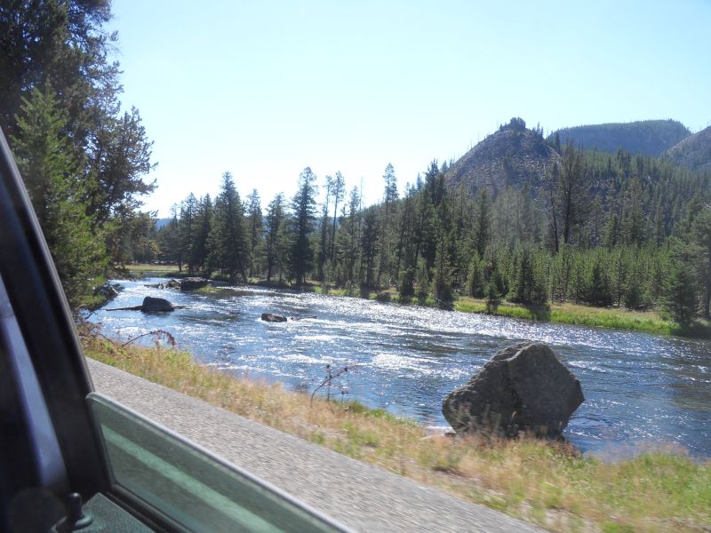
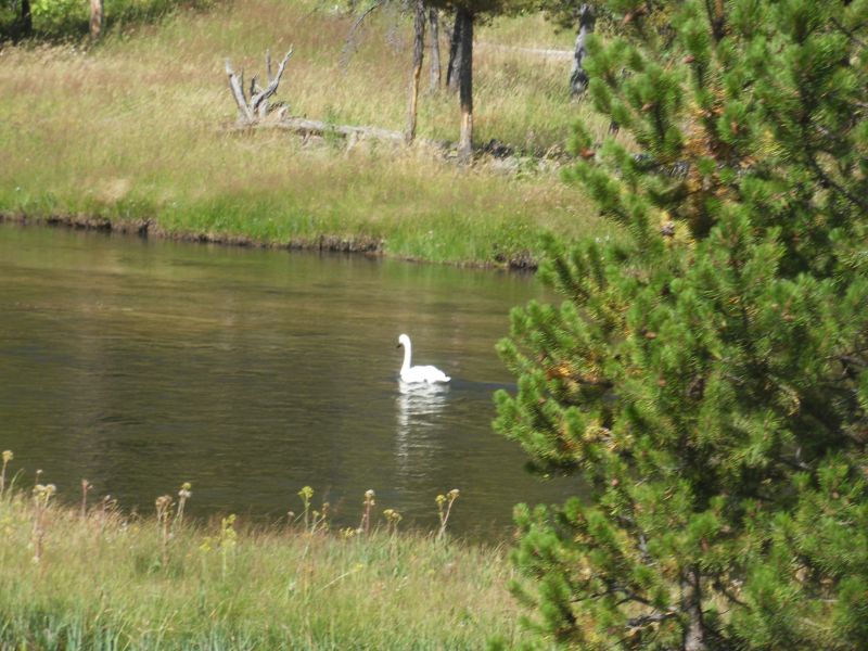
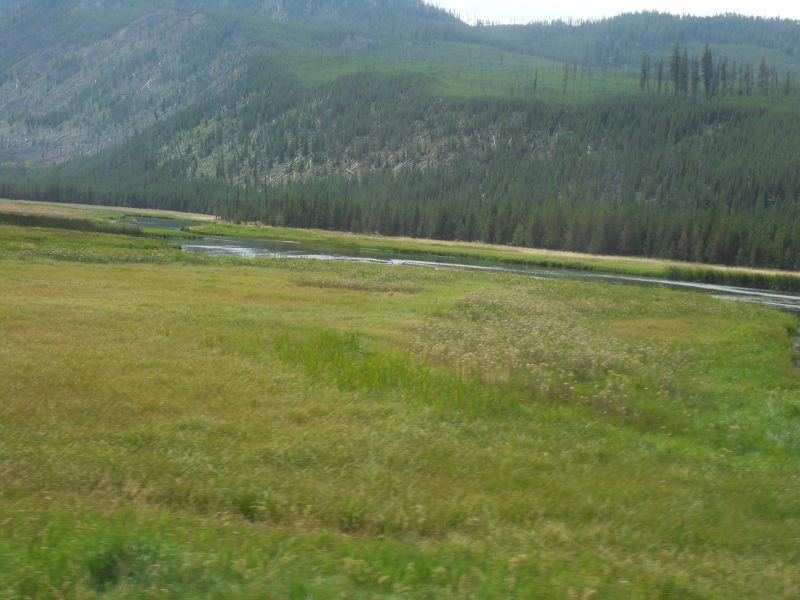
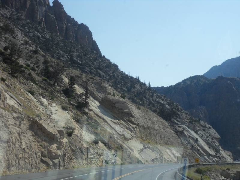
Did southwest quadrant today. Another 50 miles each way. Lots of nice scenery. Saw an elk, heron, swan, 3 bison before 1st stop. Another bison later. Lots of people and lots from other countries—Taiwan, Canada, New Zealand, England. My new favorite park.
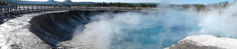
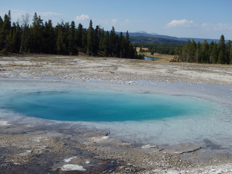
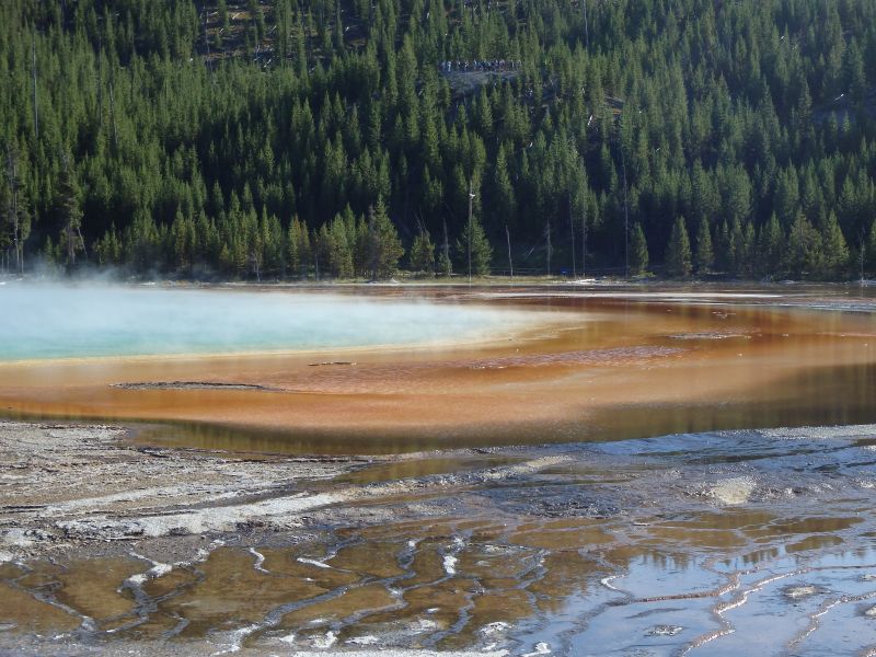
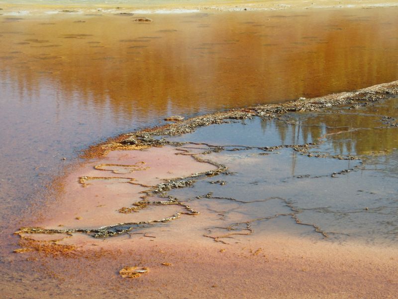
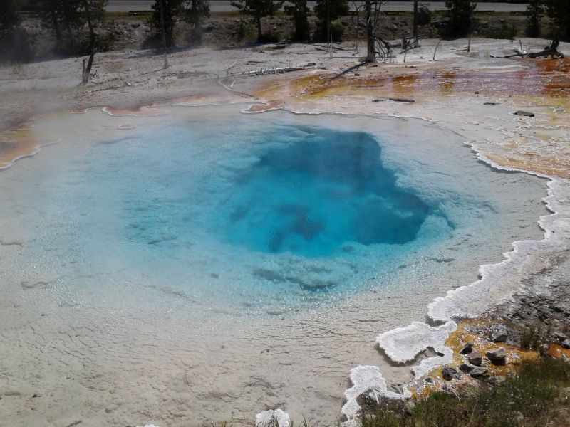
One to three earthquakes per yr normally, but 1,000 in June-Aug. 2017. Park is on top of an active volcano. Geysers are function of plumbing , heat, earthquakes, water. Blue color of Abyss pool is due to depth. Orange colors are due to bacteria.
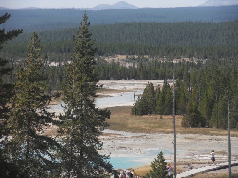
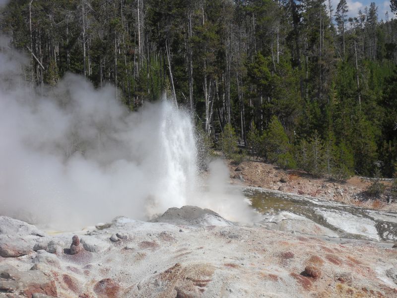
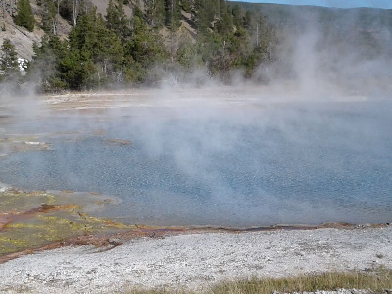
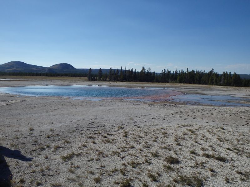
Midway Basin–includes Excelsior Geyser and Grand Prismatic Spring. Former erupted up to 300′ in the late 1800s, is pretty much a hot spring now.
Also a sign: “The presence of bison hoof prints does not mean the ground is safe to walk on. The stability of the ground in hydrothermal areas varies. Sometimes it’s sturdy enough to support the weight of a bison, and sometimes it is not.”


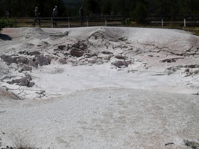
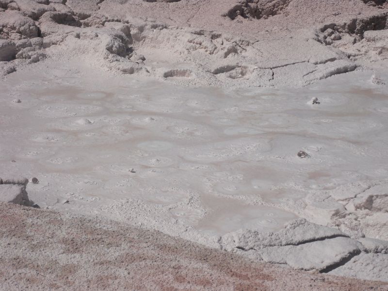
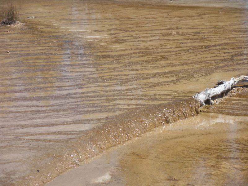
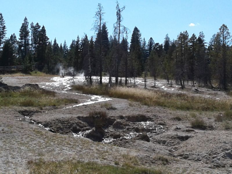
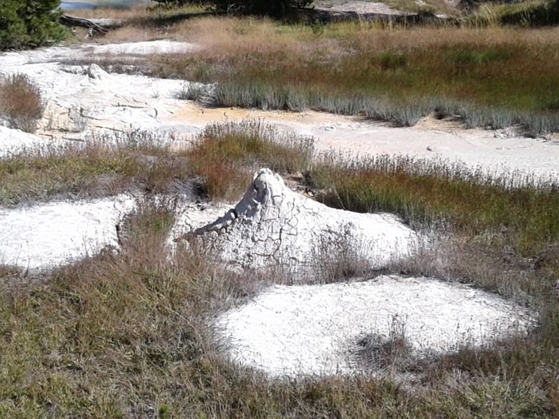
Fountain paint pot trail — includes a good geyser, as well as the very cute pots bubbling or spitting mud.


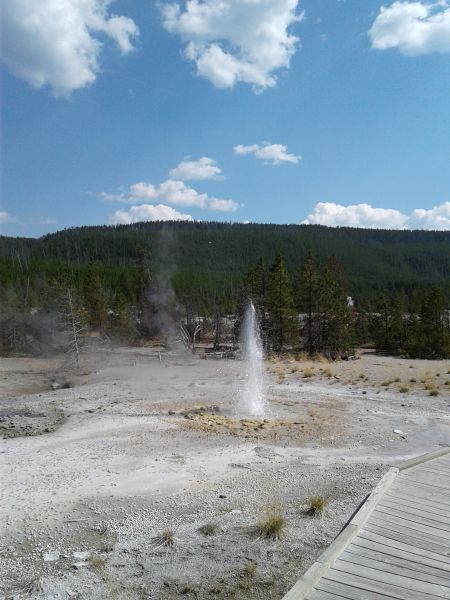
Old Faithful—geyser is 90 to 180 ft high, erupts every 40 to 126 minutes (rangers post the time of the next eruption). It happens very quickly, is over in about a minute. The 1st 3 pictures below were all taken at 2:57 p.m., the next 6 at 2:58, and the last 3 at 2:59.


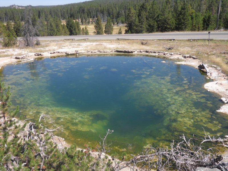
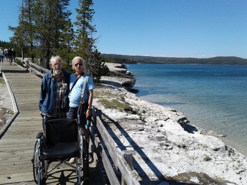
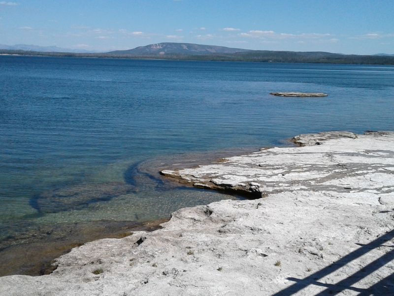
West Thumb—this trail goes along the shore of Lake Yellowstone. In winter the heat from thermal features under the lake can melt the ice. The bay is from an eruption 174,000 years ago.
Thumb Paint Pots are mini mud volcanoes 3-4 ft high surrounded by smooth mud. They can throw mud up to 25 ft. The acidic water dissolves the rock into clay. Sometimes they look like muddy water, other times like you could build pottery.
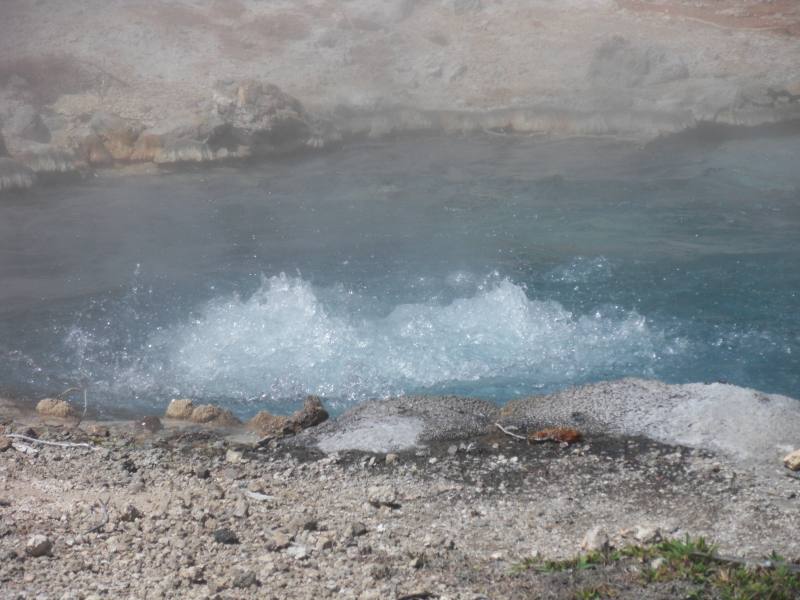
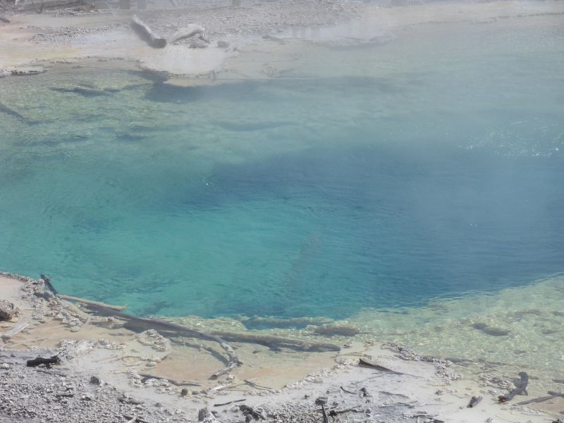
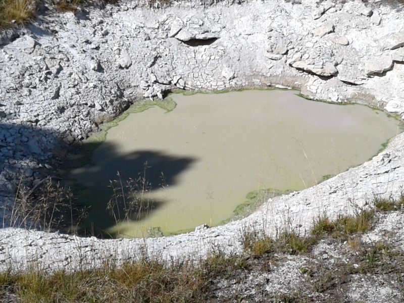
Abyss Pool (2nd in the photos below) is 53 ft deep. Color varies from turquoise blue to emerald green to brown. Erupted the first time in 1987, then quiet till 1991-1992, then quiet again.
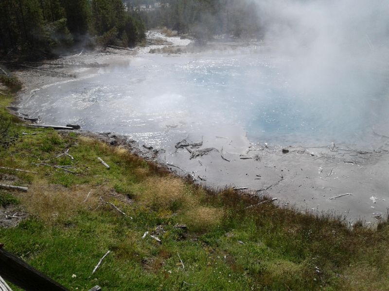
Black Pool used to have cooler water and mats of dark green and brown thermophiles but in 1991 the temp rose and killed the organisms. On our visit it was the same color as Abyss Pool!
Fishing Cone is sometimes underwater, when melting snow raises lake levels. When exposed, the cone’s water is just above boiling. Mountain men told of a place where you could catch a fish, swing around, drop it into boiling water, and cook it without taking it off the hook. Anglers often injured themselves straddling the cone. And, their feet damaged the cone.


Lamar valley is good for seeing animals but @70 mi 1-way, too far for us.
AND BEST OF ALL: Remember the baby shower in July? Finn Andrews Schoenfeld made his 6 lb 6 oz, 19 inch appearance today!

Sat. 8/19
Shopped for gifts in a.m.
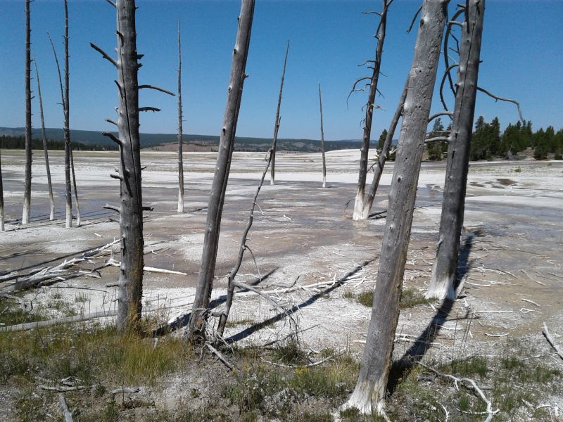
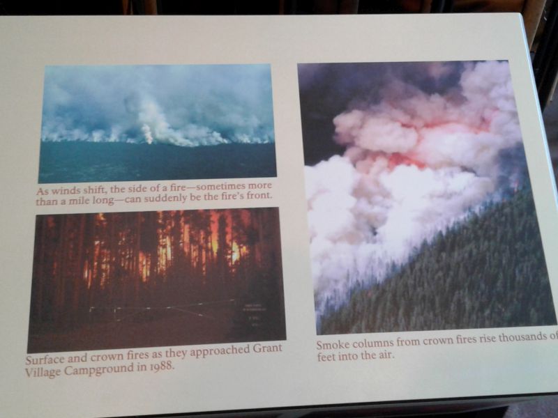
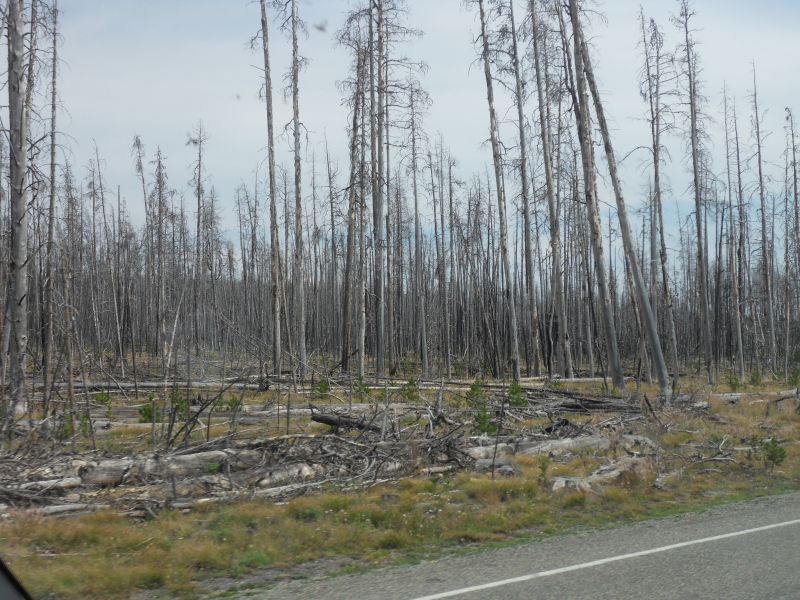
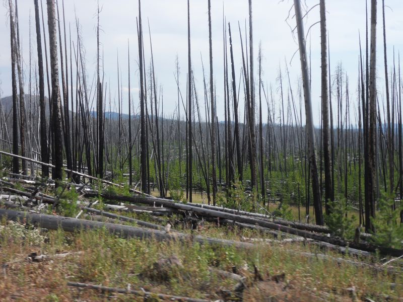
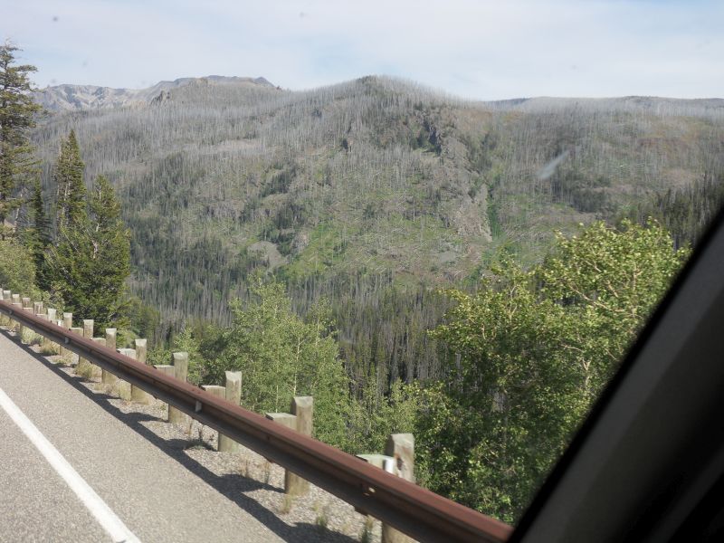
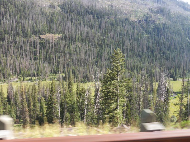
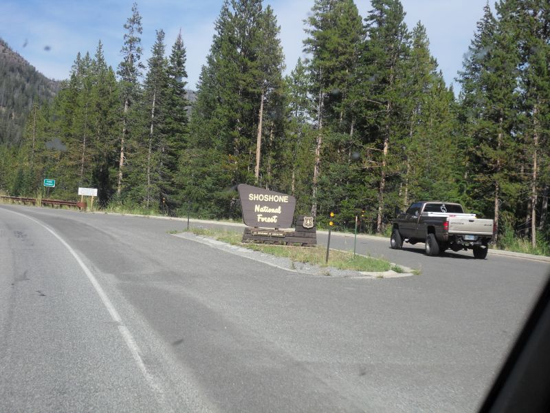
Drive out of park, with stop at Grant Village for the Fire Museum (inclulding exhibits on 1988 fire), to east entrance, 100 mi., passing burned forests for a whole hour!
Exhibits were great, helped understand what we were seeing later—massive territory affected especially by the 1988 fire, regrowth coming in, difference between sequoias and lodgepole pine in how close the trees grow and width of each. Lodgepoles lose their lower branches as they get starved for light as the tree grows higher.


 and new (foreground) lodgepole pines")


Sun. 8/20
Drive to Thermopolis, 104 mi.
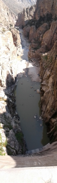
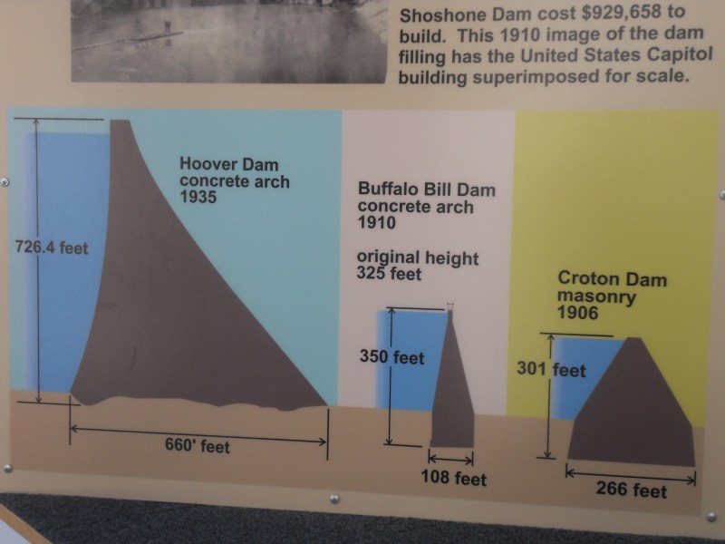
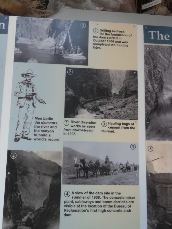
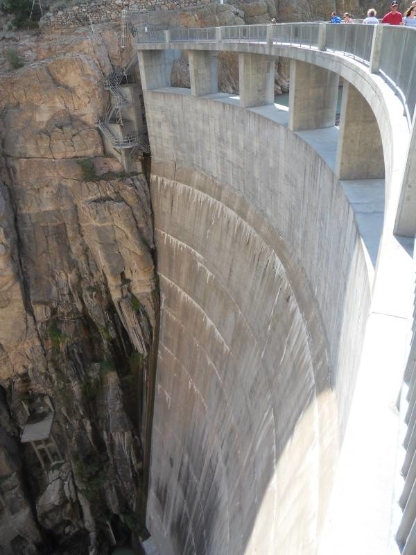
Made unplanned stop at Bill Cody dam, saw very interesting film about its construction around 1905. 3 contractors went broke building it. They managed to pour lots of concrete in winter, temperatures below freezing, even below 0. Had to, because waiting for spring floods to stop used up much of the warmer weather.
Construction of the Dam, six miles west of Cody, WY, was the key that opened about 90,000 acres in northwestern Wyoming to irrigated farming. So dry and forbidding was this part of the state that it was one of the last regions in the United States to be settled. It wasn’t until the 1890s, with dreams of irrigating the region and turning it into productive farmland, that a significant number of people began to settle there.
Among the visionaries were William F. “Buffalo Bill” Cody and a group of investors who formed the Shoshone Land and Irrigation Company, founded the town of Cody, and acquired water rights from the Shoshone River to irrigate 60,000 acres. When the project proved cost prohibitive, Buffalo Bill, in early 1904, transferred his water rights to the U.S. Secretary of the Interior, and that July exploratory drilling began. When completed in 1910, Buffalo Bill Dam stood as an engineering marvel, one of the first concrete arch dams built in the United States.
The Shoshone was no ordinary river to dam. It drained an almost entirely mountainous area and, with neither of its forks longer than 50 miles, the flow was rapid and powerful, dropping more than 7,000 feet by the time it reached the narrow canyon of the dam site. The rapid flow created trouble in the summertime when winter runoff came roaring down the river, bringing boulders and uprooted trees with it. So high was the water in the spring of 1908 that a newly dug foundation pit flooded and workmen had to start over.
November brought freezing cold, and workers, seven of whom would die during construction, had to heat the sand and gravel before mixing and pouring concrete. In all, they had poured 82,900 cubic yards of concrete.


The Eclipse. A wk or 2 ago, we noticed stores were advertising eclipse specials for the weekend starting 8/18. Hadn’t thought about when and where it would be, and what do you know–our vacation route for this time was exactly the same as the total solar eclipse route–right across Wyoming from NW to SE. Per The Web, towns had been planning for years for the influx of visitors. Hotels and campgrounds were filled a long time ago and stories were that 50,000 visitors were expected in small towns, roads would be clogged, etc. Speeding things up, staying a bit longer, taking a different route to our next stop (Denver)—nothing got us out of the affected area. Stressful not knowing if there’d even be ad hoc (no hookup) places for RVs (on top of the usual not knowing exactly where’d we be).
Ended up getting a spot in Thermopolis, at Eagle River RV Park, in an adjacent field, where the farmer cut down a few rows of corn. (Fresh corn available for purchase from adjacent rows). Lots more spaces laid out but not rented so didn’t need to panic. Town is right on the northern edge of the path of totality. Just now I find out some people care about how close they are to the center of that path, not just being in the path–determines whether the totality period is 1 min. or 2 min.
Bob got some film from a fellow traveler last night to tape over the camera lens so he can take pictures in the totality period. [Didn’t work. Go on the web if you want pictures. The Web also pointed out that auto-exposure features won’t work—you have to start playing around with manual exposures weeks in advance to find the right one. . . ] I’m more concerned with putting the cardboard glasses on at the right time.
Mon. 8/21
SOLAR ECLIPSE. Begins 10:20 a.m., ends 1:05 p.m. Totality begins at approx. 11:40 a.m., lasts just under a min. here. It got dusky tho not dark beforehand, was cool to see the moon pass across the sun.
And just as the eclipse occurred, Bob starts grinning and waving and jumping up and down–because he got a phone call letting us know Finn’s heart surgery went fine! The little guy had a heart problem that had been detected during his development, so we knew he’d have corrective surgery as soon as he was able after being born. He is doing well and should be home soon. No long-term issues. The kid knows how to make an entrance. . .
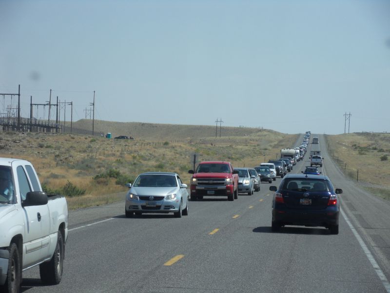
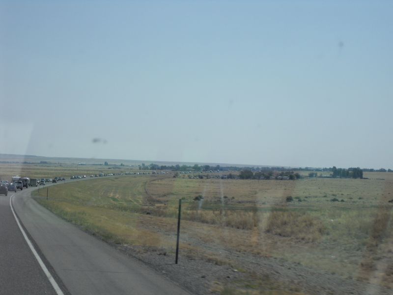
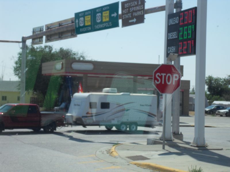
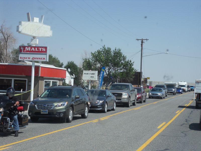
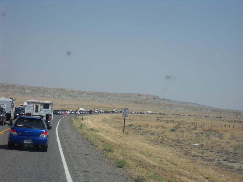
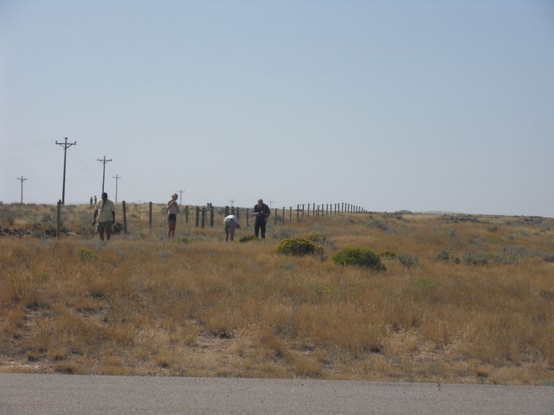
Of course, the usual 10 a.m. checkout rules for campsites didn’t apply today. Estimates for traffic nightmares are worse for after the eclipse because, while people came in over several days, they’d all be going back home at the same time. We saw long lines of cars going in the other direction (north), must be people who were closer to the center of totality. We, fortunately, are going south. Photos below are from a half-hour period. Cops are directing traffic at a corner that usually has only a 4-way stop sign.

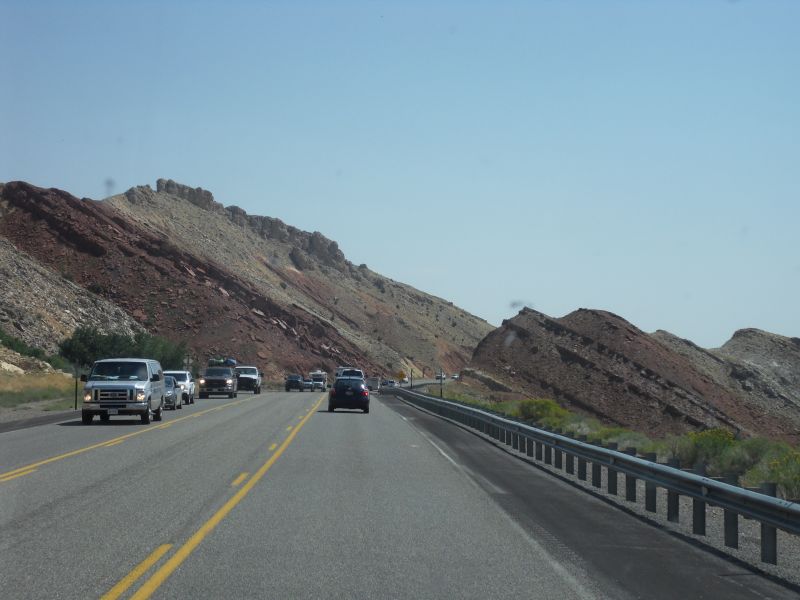
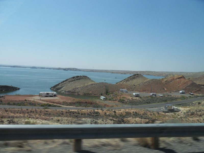

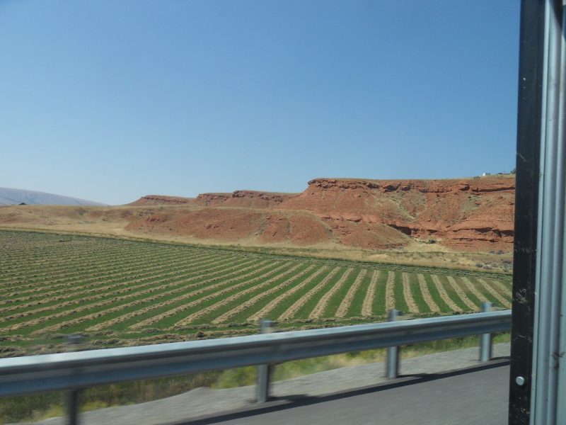
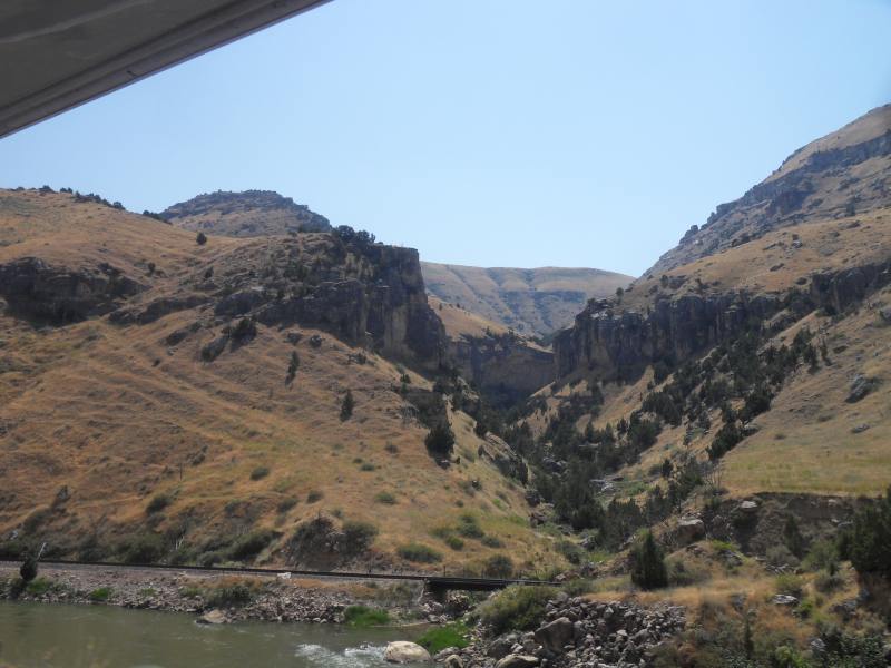
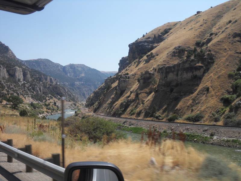
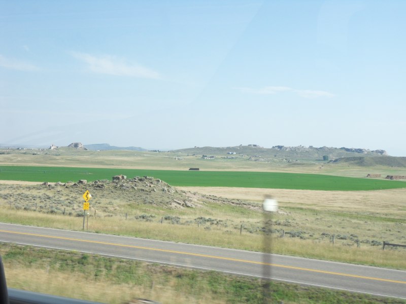
Other than that there was scenery
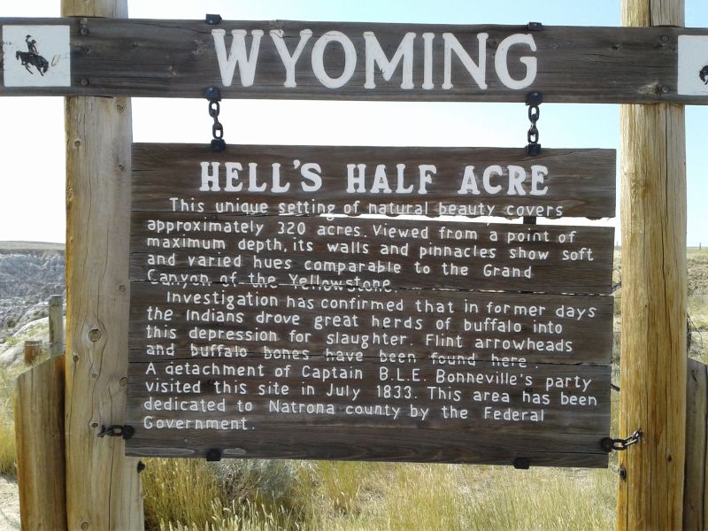
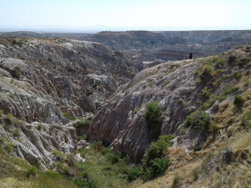
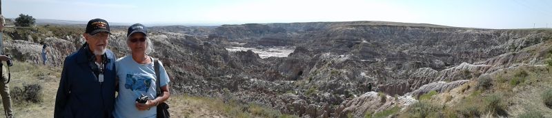
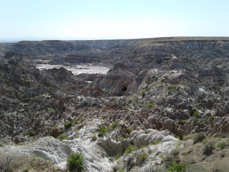
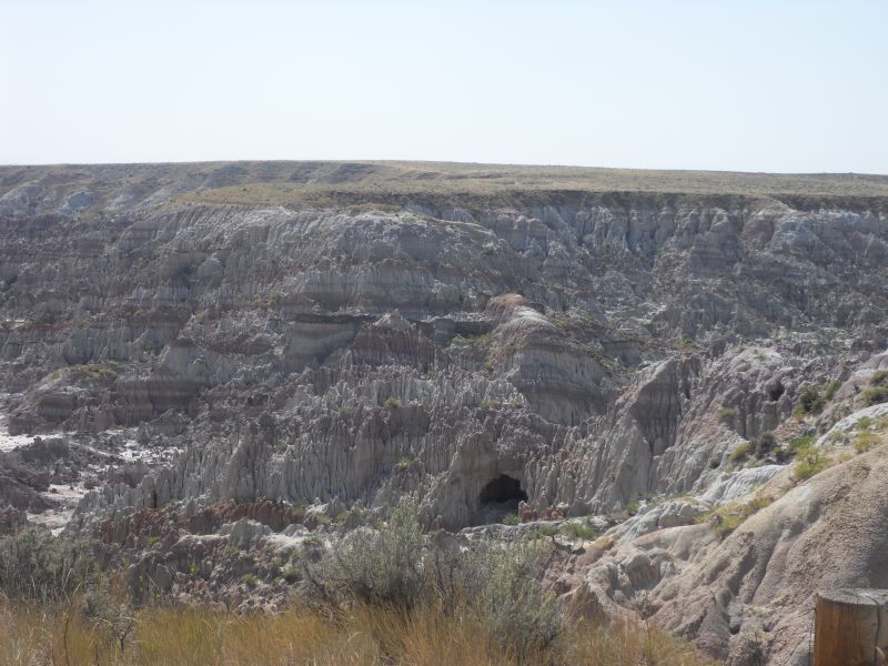
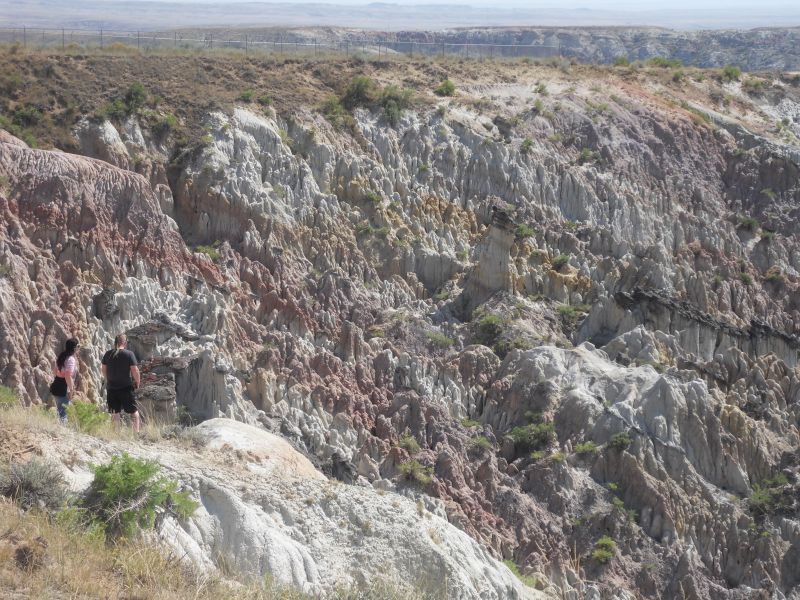
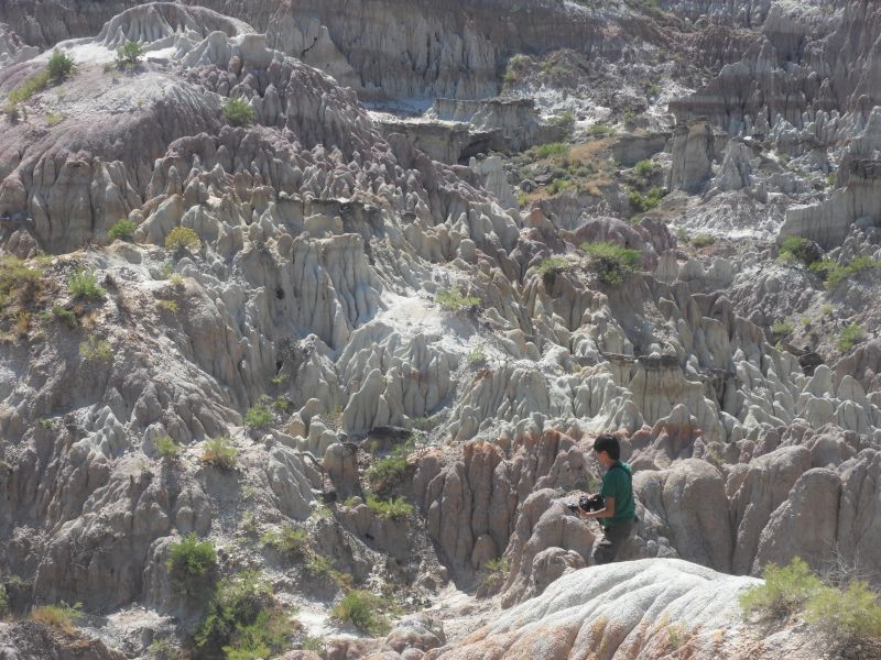
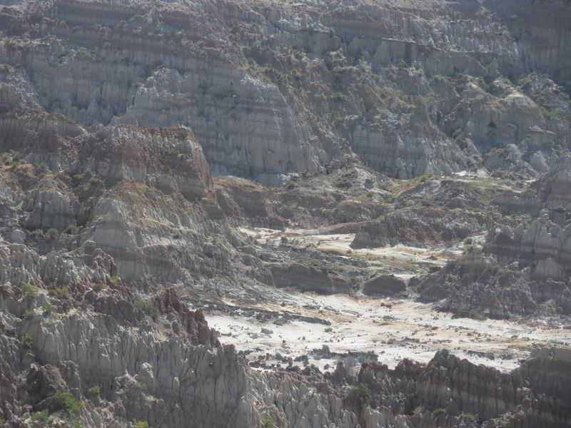
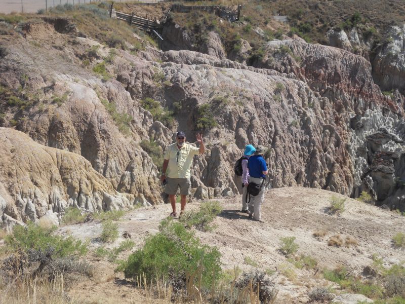
until, an unplanned stop at Hells Half Acre—a huge canyon, like a mini Bryce. It’s a large scarp (a long cliff formed by faulting or erosion that separates two relatively level areas of differing elevations) about 40 miles west of Casper, WY. It’s composed of deep ravines, caves, rock formations and hard-packed eroded earth. The 150-foot-deep, 320-acre gorge is filled in one section with jagged rock spires, “naturally sculpted into chaos by an ancient offshoot of the Powder River.”
It was used as the location for the fictional alien bug planet of Klendathu in the movie Starship Troopers (1997). The crew spent weeks hauling props down into the hole and shooting among the gnarled rock protrusions. “They hired some of the locals as extras,” the restaurant owner noted, “though mostly as dead bodies.” If you go down into the canyon (we didn’t) you can still find spent blank shells from the production, along with the occasional bone where buffalo ran off the cliffs. Amerindian tribes used the ravines to drive bison to their death during their hunts.

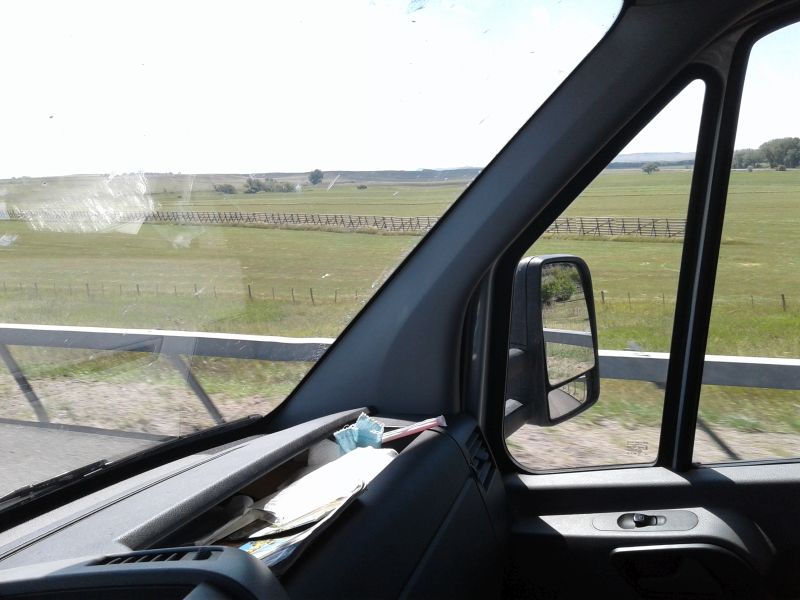
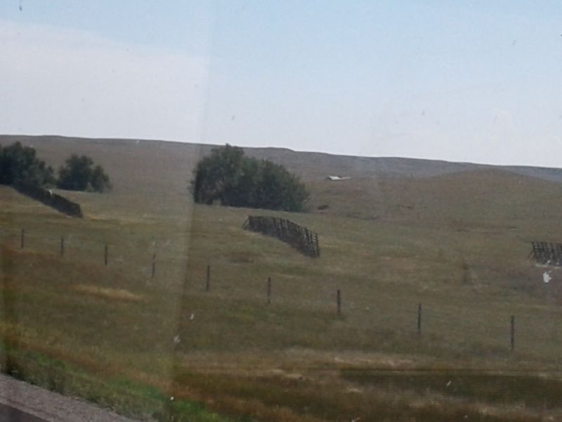
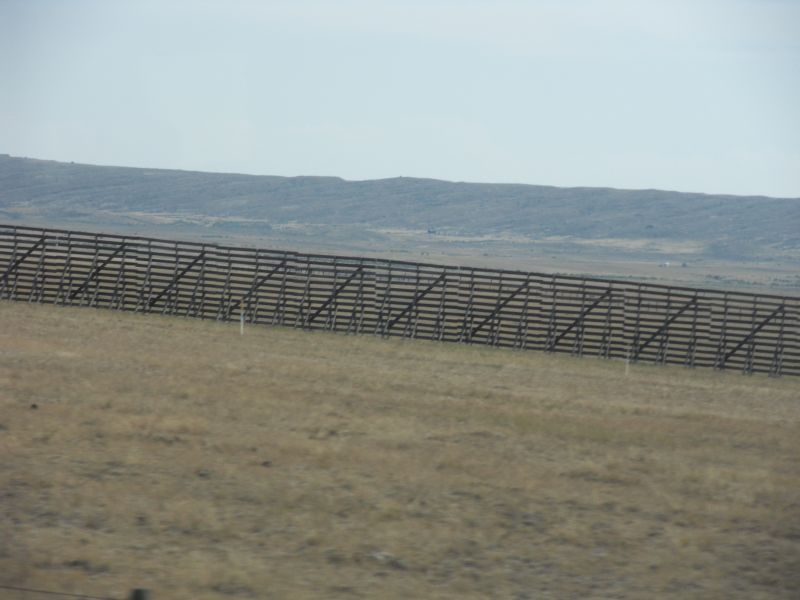
We’re seeing lots of partial fences not far off the road. Snow fences? Often on higher ground but not always. And sturdier than the ones at home.
Saw deer grazing on ranch land. Long line of windmills off I-25.